app logo

Dive Into the Submerged Past

The remains of hundreds of communities sit quietly below the waters of reservoirs in the American West and beyond. These places were deliberately moved or eliminated to make way for “river development projects” -- large dams. Help us locate and tell the stories of these drowned towns!


Please note: this website is currently under development. Content and functionality are focused on the Willamette Valley in Oregon, USA.


We would love your feedback! Please complete this survey, or report bugs and problems via our Contact Us page.

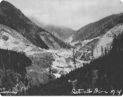
image of Detroit Dam, 1950
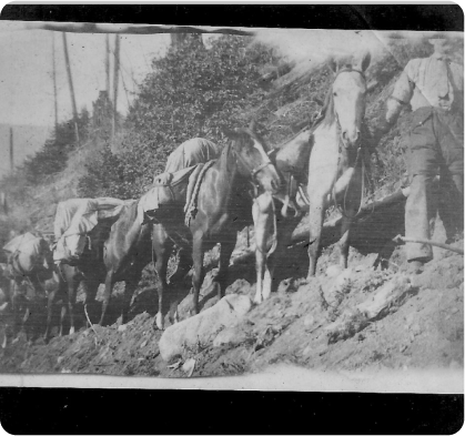
image of Pack Train, Old Detroit

Detroit, Oregon Before and After Construction of the Detroit DamBefore: Detroit, ca. 1950, Postcard from the North Santiam Historical SocietyAfter: Detroit, 1953, Photograph by Ben Maxwell

Explore the Map

See the locations of displaced communities and the dams that caused their dislocation. Interact with photographs, oral histories, documents, and other artifacts. Overlay historical maps and aerial imagery to see change over time. Calculate the scope and scale of displacement at different scales, and read historical interpretations about community displacement and dam development.

section image

Share Your Stories

Help develop more comprehensive and nuanced understandings about displaced communities. Contribute your artifacts, memories, and stories to the Atlas of Drowned Towns database!

image of Pack Train, Old Detroit (Oregon). Date unknown.
Pack Train, Old Detroit (Oregon). Date unknown.Photo courtesy North Santiam Historical Society.

Research in the Archive

Browse, search, and filter our growing archive of photographs, documents, 3D images, oral histories, and other artifacts from and about displaced communities.

image of Bird’s Eye View of Detroit (Oregon) Dam Site West, August 1949.
Bird’s Eye View of Detroit (Oregon) Dam Site West, August 1949.Photo courtesy North Santiam Historical Society.
section image

View the Directory

Browse and search the evolving list of inundated communities in the Atlas of Drowned Towns.

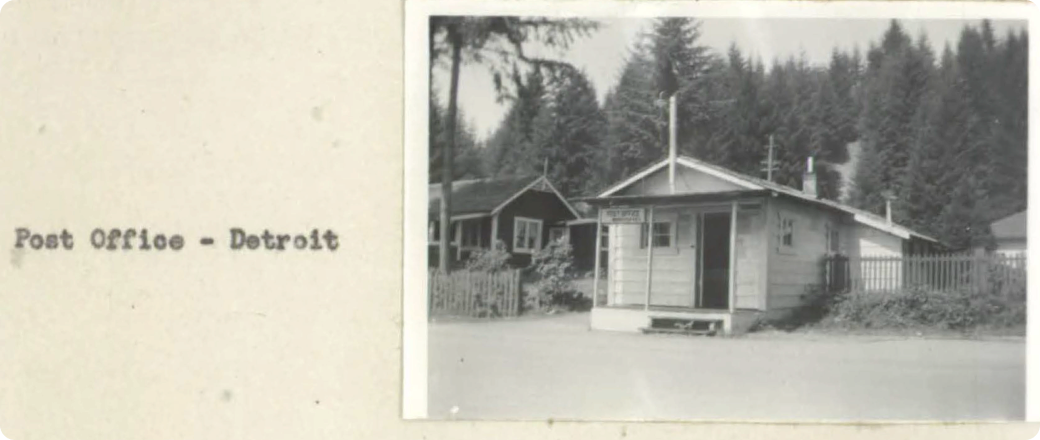
image of Detroit Post Office, 1950Detroit (Oregon) Post Office, 1946Source: US Army Corps of Engineers, Detroit Reservoir Real Estate Planning Report, 30 August 1946.

Learn More

Explore the work of other historians and scholars who are investigating inundated places and community displacement.

Our Newsletter

To discover more and stay up to date on everything that’s happening with the project, subscribe below to our quarterly newsletter!

By clicking subscribe, you agree to share your email address with the site owner and Mailchimp to receive marketing, updates, and other emails from the site owner. Use the unsubscribe link in those emails to opt out at any time.